Today was a busy photograph day.
Sunday 5th January
Today we went to the Hazelhurst Regional Art Gallery

https://www.sutherlandshire.nsw.gov.au/Community/Hazelhurst/ to see the Southern Swell Exhibition of Surfing over the last 60 years, particularly in the Sutherland Shire.

I.E. Cronulla Beach. I was expecting a small gallery with a small gift shop.

Instead I found a large busy gallery with an absolutely huge coffee shop chock a block with customers and a small gift shop.

I was greatly impressed.

Just to go there for a coffee was a treat.

Gymea is well supplied with coffee shops in the main shopping centre but the gallery coffee shop tops them all. http://www.hazelhurstcafe.com/new-page

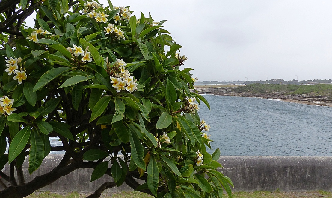
Back at Bev’s place Sandi finished packing so Enid and I drove her to the airport. After dropping her at the front doors we headed out to LaPerouse to see what we could see.
There was a howling southerly wind blowing today which made our walk at Cape Banks National Park a little challenging. The wind is blowing the smoke from the horrible bush fires on the south coast. The smoke haze is combining with the salt haze from the strong north easterlies which have been blowing for the last six days. Within the park is
 The Coast Hospital Cemetery. http://postcardsydney.com/coast-hospital-cemetery/ More than 2,500 people were buried here, many of the graves are overgrown and are left that way to protect them.
  Les than 100 graves are visible. I found one grave of a Captain who died at sea aged 39 and was buried here in 1860. His wife Janet who lived for another 42 years is also interred with him.
Further along the walking track we came across the ruins of Fort Banks https://en.wikipedia.org/wiki/Fort_Banks_(Australia) built during WWII to help protect our coastline from invaders.

The ruins here are exactly that – ruins.  Much of the buildings are locked up but no information exists.


Cape Banks is located on a wild and wooly wave lashed steep cliff faces of naturally sculpted sandstone. The wind was strong enough to blow me away from the cliff edge- which was probably a good thing.
 The entrance to Botany Bay can be seen as well as the southern entrance called Cape Solander.

We drove to LaPerouse, found a parking spot (miraculous) and walked across the bridge to Bare Island. The island was an armed fortress designed to protect the entrance to Botany Bay against invaders from the sea.
 We planned to walk around the rocks at the base of the fortress. While standing at the gate a Park Ranger let a group of people out from the fort. He announced he would be conducting the last tour of the week in five minutes.
  We were in the right place at the right moment to have a guided tour through this old fort.
  I recall that, as a teenager, I had walked to Bare Island and in those days it was not locked.
  We could walk onto the island and roam around. That is no longer the case. National Parks has control of who goes on the island.
  The fort was built in 1885 to counter a perceived threat from the sea by Russia or France or even Pirates!
  The five cannons were never fired in anger and by 1912 the fort and the cannons was decommissioned and used as a War Veterans Home until 1962.

Three of the 5 cannons were sold as scrap metal. The remaining two cannons were too heavy to lift off their pedestals and move across the bridge.  Getting those cannon onto the the fort in 1885 must have been a logistical miracle. At that time there was no bridge so everything, including the cannons had to be brought in by barge or rowboat. Imagine how an 18 ton cannon was lifted ashore, up the steep hillside and lowered into position in a firing pit and lined up correctly really plays with the imagination. https://en.wikipedia.org/wiki/Bare_Island_(New_South_Wales)
It is difficult to imagine what life was like for the 60 soldiers who manned the fort. We noticed that some National Parks Rangers live in the lower barracks on the island.
Each firing pit had alcoves built into the walls for each of the cannon crew to take shelter in the event that an enemy was firing at them. That said, from the sea, the fortress was designed to look like a grassy island and no structure, apart from an observation deck, was visible from the sea. The walls can only be seen from the land or inside Botany Bay.

Much of the fort is carved from solid sandstone, the buildings are made with dressed sandstone blocks while some parts have been made with an early version of concrete.
While the design of the fort was brilliant, much of the work, carried out by a civilian contractor was below standard and had to be re-done.
Each firing pit had markings along the wall to show the height above sea level. These markings were used to make adjustments to cannon elevation.
